LiDAR
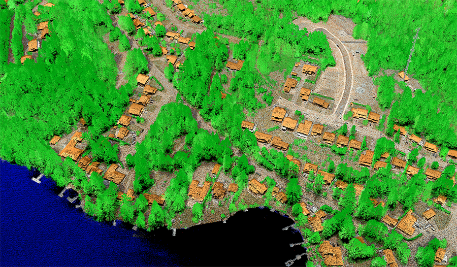
LiDAR (Light Detection and Ranging) is an aircraft mounted laser based sensor that provides accurate elevation, height and positional measurements for ground and above-ground objects. The resulting 3D point cloud can then be classified and used in the generation of Digital Terrain Models (DTM) and Digital Surface Models (DSM). A major advantage of LiDAR is its ability to penetrate tree canopies, thereby giving accurate ground measurements in areas of vegetation.
Classified LiDAR
Depending on the captured point density, LiDAR datasets can be filtered and classified into several categories including , ground, vegetation (high, medium, low), buildings, water, rail, road surface, powerlines, bridge decks etc.. These data classifications can be used for detailed analysis and measurements of object heights, volumes, the spatial relationships between different objects on the ground, and surfaces for rectifications.